 Image: Philippine Space Agency
High-school students in five Philippine towns are ground-checking a national mangrove map
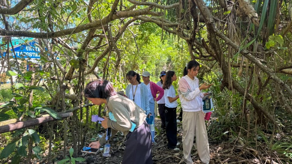
The Philippine Space Agency said on 27 October that students and teachers are out checking the country's mangrove map against what is actually growing on the shore. From September through October, the agency and the environment department's Biodiversity Management Bureau visited five of ten pilot schools: Alabat Island in Quezon, New Washington in Aklan, Bonuan Buquig in Dagupan, Aparri West in Cagayan, and Claver in Surigao del Norte. The schools joined a project that started with a four-day training in March for 30 teachers, run with the education department and the Philippine Science High School System. On these follow-up trips, students learned the coast and then collected field notes in an app called ODK Collect. Those notes are meant to check a 2025 national mangrove map, which the space agency says it will publish once the checking is done, and to improve the model that draws the map. The same help is planned for the other pilot schools by early 2027. The mapping itself began in 2024 as a joint effort to combine satellite pictures with people on the ground.
A mangrove map gets better when the people who live beside the trees are the ones saying whether the picture is right.
The agency's note is about training and field visits at five schools. It does not say how many observations students have turned in, and it says the 2025 map is still waiting on that check before it is released.